Geolocation demonstration
Below depicts a geolocation I previously completed. I have posted my work here to demonstrate my geolocation process.
TASK 1) Where was the suspect in this video released by police?
https://x.com/ProvidenceRIPD/status/2000701550864326687
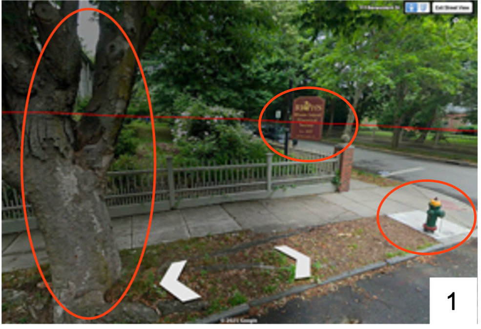
ANSWER/COORDINATES: 41.825136, -71.395568 (Image 1)
Process: Note — In my normal workflow, my first step would be to use reverse image search on multiple frames from the footage. However, this was a high-profile story, so I decided to forgo this step in the spirit of the task.
My process involved the following steps:
I limited my research to initial reporting on the shooting, indicating it occurred at the Brown University Engineering Building.
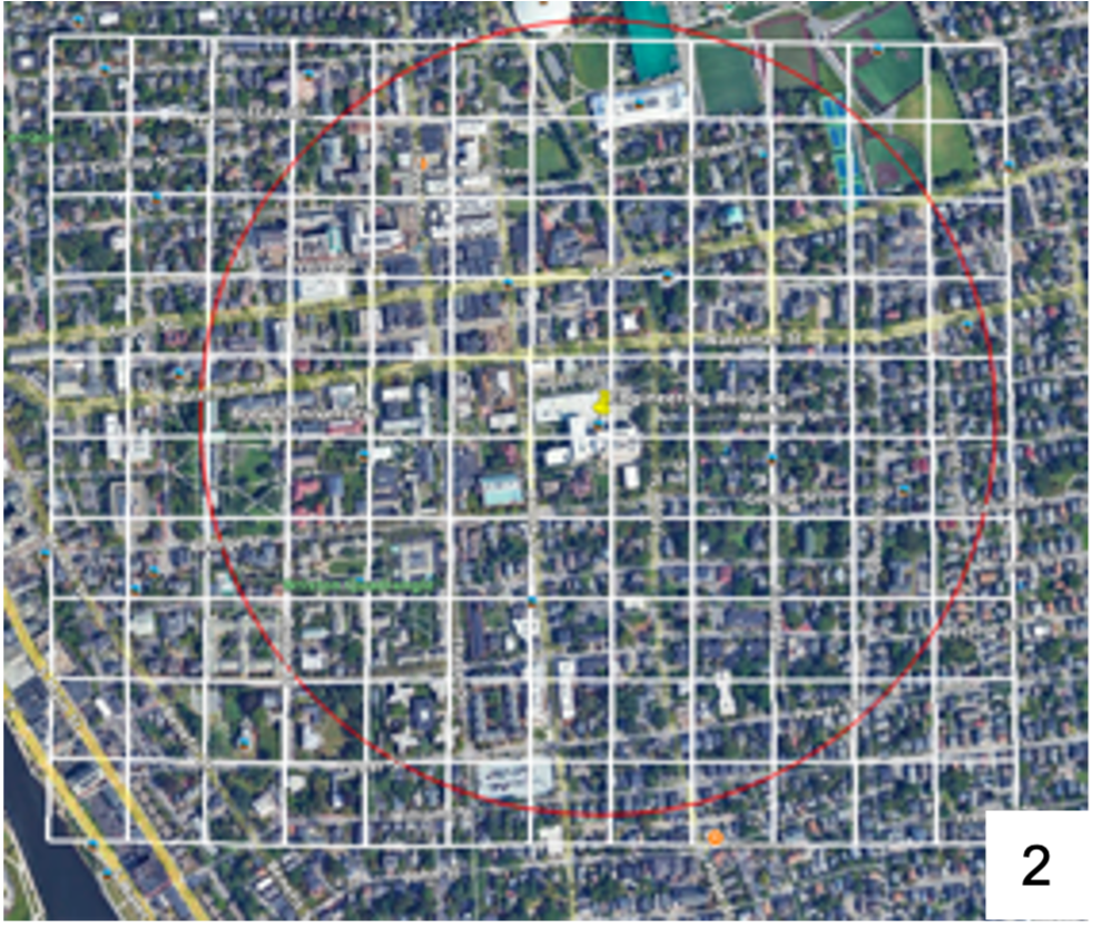
After identifying the coordinates for the Engineering Building, I drew a zone with a radius of 0.5 km on Google Earth. I also overlaid a grid by importing a kml file to allow me to systematically search the area (Image 2).
Using a combination of Google Earth’s 3D building feature and Street View, I began my search by starting in the squares immediately above the university, and proceeded clockwise around it, widening the circle as my search proceeded. After coming onto the street that bore resemblance to the footage, I used Street View to match the sign, fire hydrant, and tree to the footage circulated by the police post on ‘X’ (Image 1).
TASK 2) This is an edited image. Where is the location of the original unedited image?
https://x.com/Councillorsuzie/status/1776165497798558059
ANSWER/COORDINATES: 51.500083, 0.063378
Process:
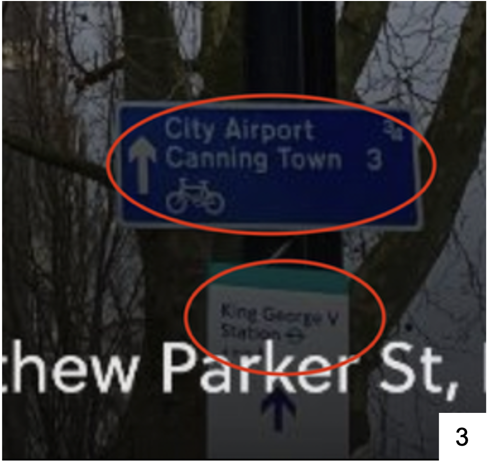
In the image provided, I identified the signs which gave an [approximate] distance to Canning town as 3 km, [London] City Airport as 0.75 km and also a sign that indicated that George V Station was in the immediate proximity of the location (Image 3).
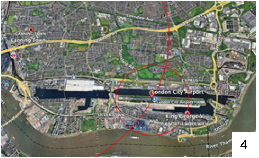
I pinned each of these locations on Google Earth and created zones around Canning Town and London City Airport that corresponded to the distances on the signs (Image 4).
While the two circles indicated that the location was more likely west of the Airport, I assessed that it was more likely to be nearer to the King George V station. I arrived at this conclusion by taking into account that signs for more distant locations were likely to be approximate values, whereas nearby signs are likely to be far more accurate.
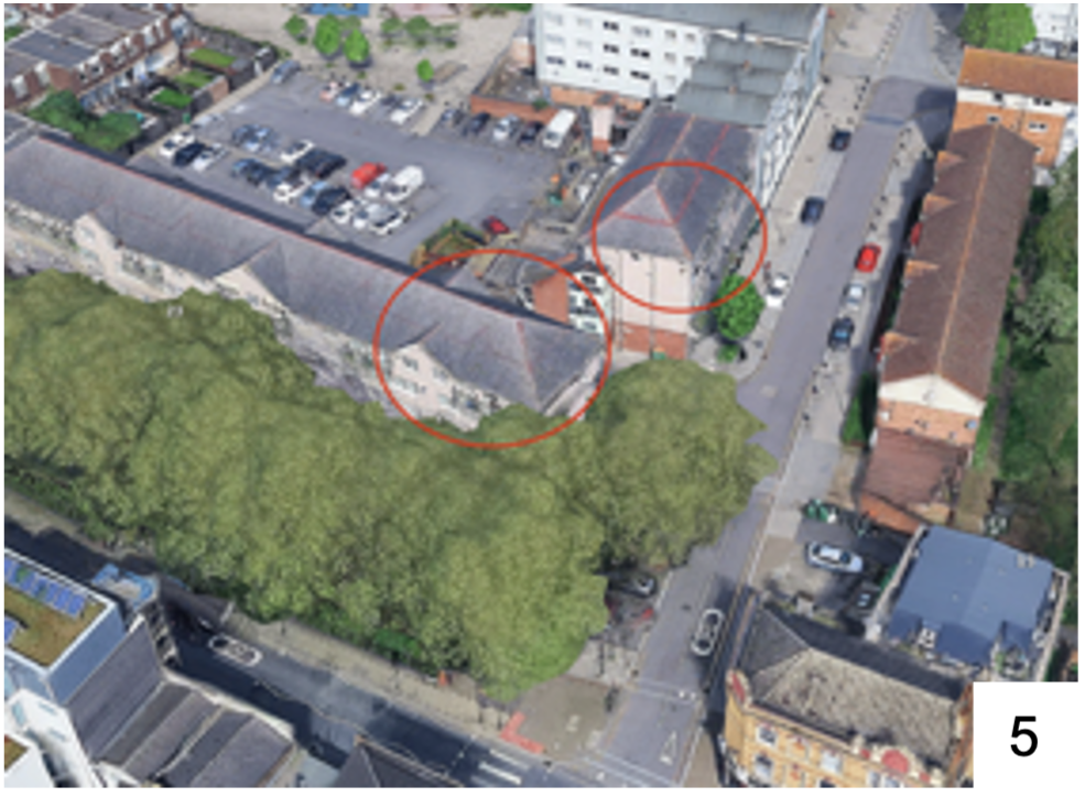
Using Google Earth’s 3D building feature, I conducted a search around the streets nearest to the station to identify buildings with a similar architecture to the building within the image (Image 5).
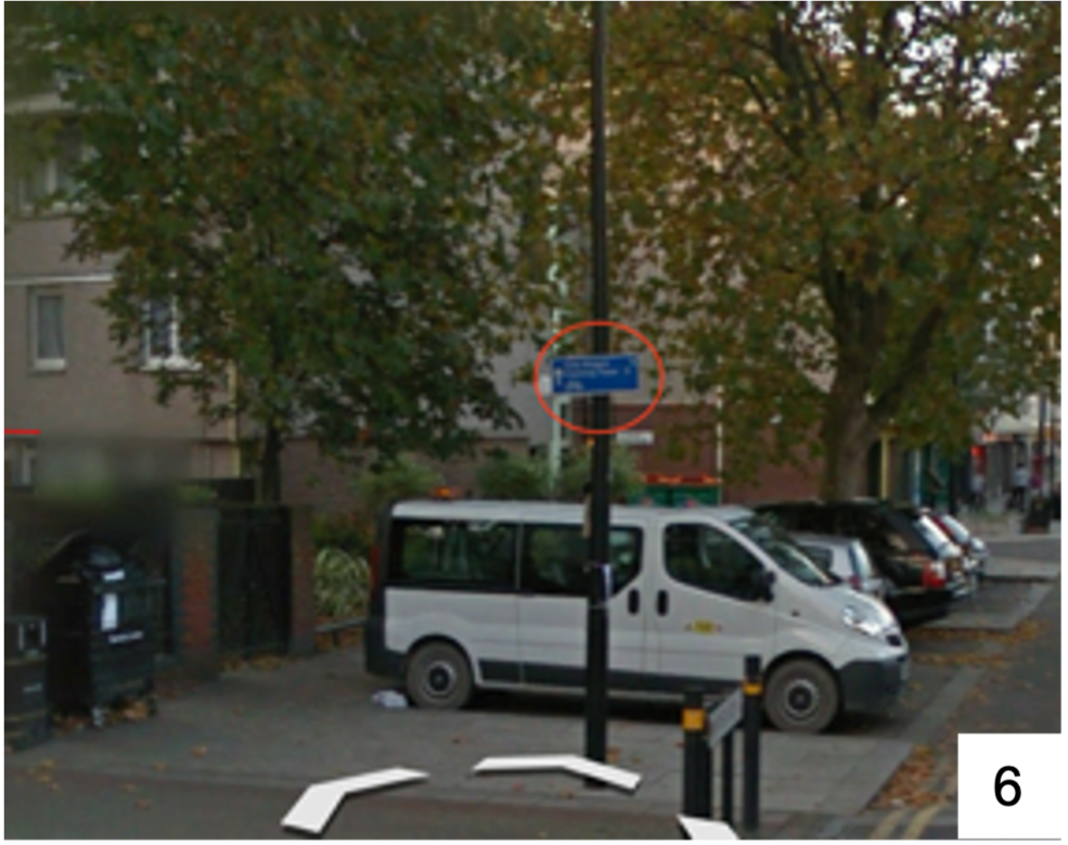
After identifying two buildings that bore a visual resemblance to the one depicted in the image, I identified the Canning/ Airport sign, along with the surrounding features such as the tree, lamp post, and building (Image 6).
TASK 3) Find the pipelines that the drones are striking.
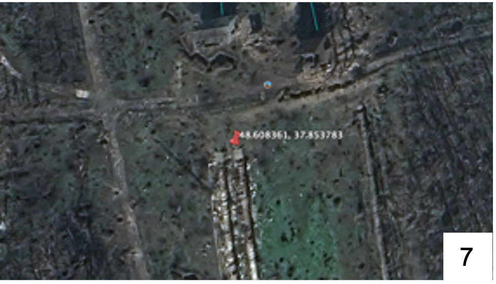
ANSWER/COORDINATES: 48.608361, 37.853783 (Image 7)
Process:
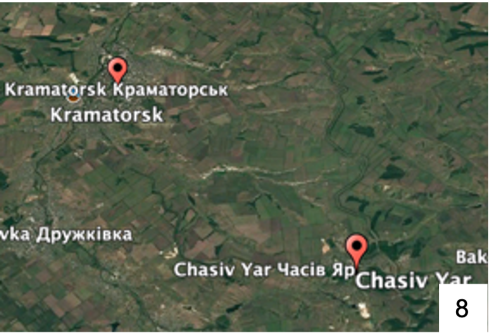
My first step was to use online tools to translate the text that was included in the footage, which indicated that the targeting of the pipe was “in the direction of Kramatorsk”. Translation also showed that footage had been uploaded by the Ukrainian 5th Separate Assault Brigade, which has been stationed in Chasiv Yar. This gave me two starting locations to establish a broad area to search, which I pinned on Google Earth (Image 8). I also discovered that Kramatorsk referred both to the town and also to Kramatorsk Raion.
I next reverse image searched still images of the pipes taken from the footage to identify the type of infrastructure, revealing they were likely part of a canal system. Research into canals near to Chasiv Yar and Kramatorsk identified the Siverskyi Donets – Donbas Canal as the area where the pipes would be located.
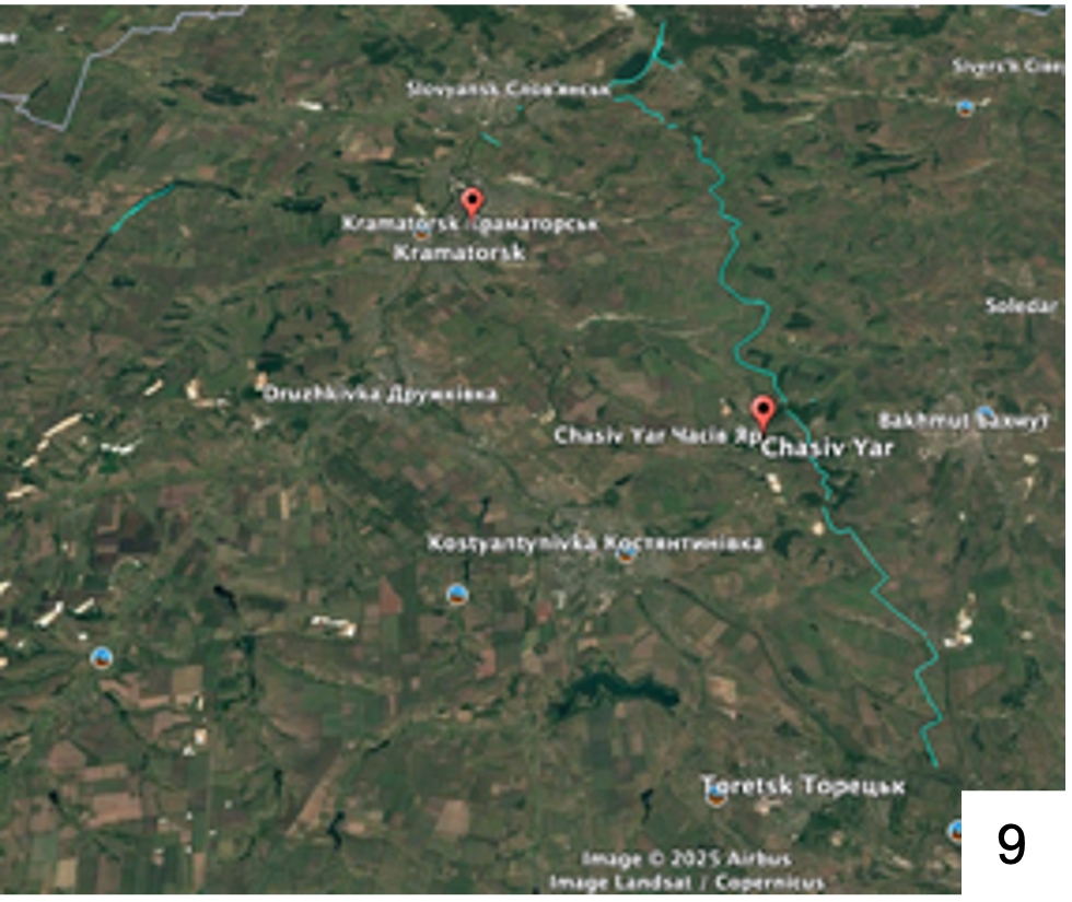
Using this information, I used an online data base mapping tool to identify the canal infrastructure and generate a KML to import into Google Earth to narrow my search (Image 9).
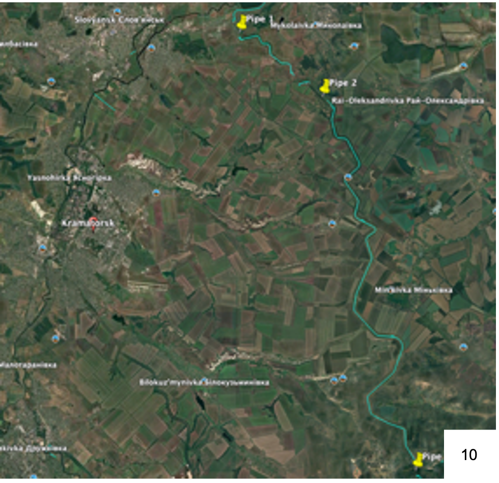
Visual analysis of the route of the canal identified three locations with infrastructure similar to those depicted in the footage (Image 10). The next step was to compare each location to the other footage in the upload.
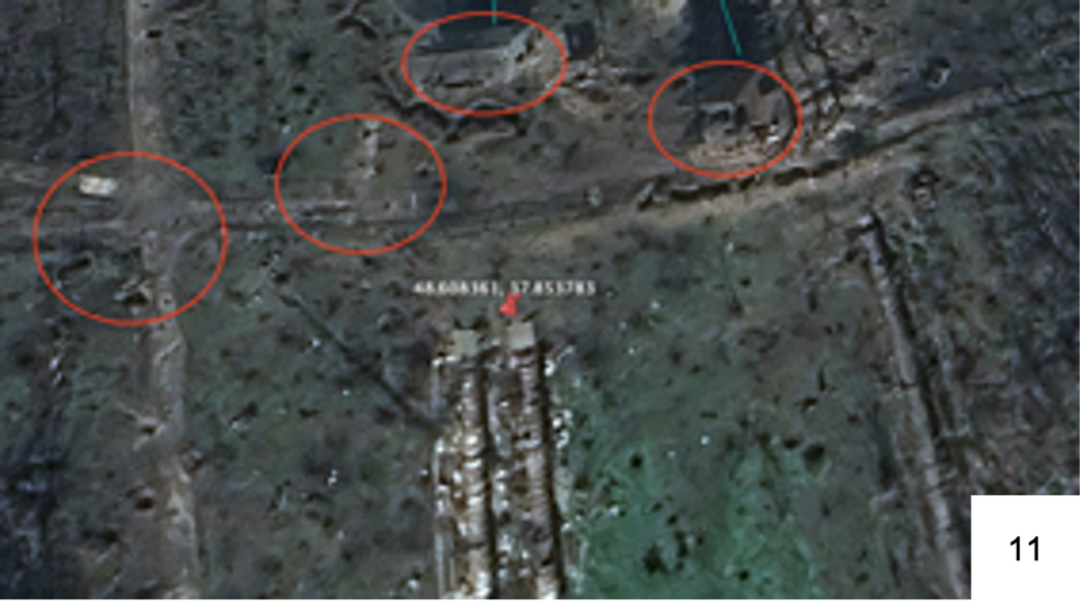
I assessed that ‘Pipe 3’ bore a strong visual resemblance to the location in the footage. Specifically, roads and structures in the vicinity of the pipes, resembled objects visible in Google Earth. Also, visible damage on the pipes depicted in Google Earth’s satellite imagery, dated 30 October 2024, were visually similar to damage in the footage (Image 11).
Research into the Ukrainian Brigade and Chasiv Yar indicated that the ‘Battle of Chasiv Yar’ was likely the context for this footage, due to the date and the geographic zone of investigation. The proximity of the pipes to Chasiv Yar while also being in the direction of Kramatorsk Raion relative to the city strengthened my assessment.